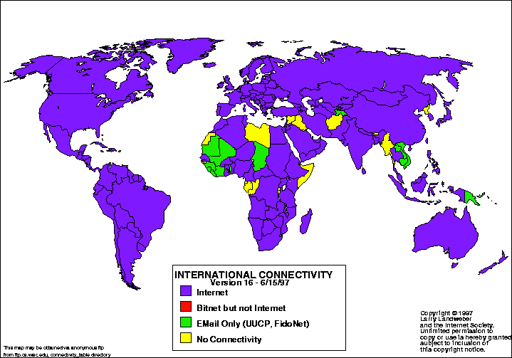
A Statistical Map shows certain statistics for certain regions. The example here shows international connectivity through internet between countries.
http://www.google.com/imgres?imgurl=http://personalpages.manchester.ac.uk/staff/m.dodge/cybergeography/atlas/landweber_version_16.gif&imgrefurl=http://personalpages.manchester.ac.uk/staff/m.dodge/cybergeography/atlas/census.html&usg=__7Q_J2rHYT0rdoNo1d50AGS3tuUU=&h=503&w=719&sz=15&hl=en&start=15&sig2=VjiUhzXzQ7dGZvjdUrhAtA&zoom=1&um=1&itbs=1&tbnid=8zkjRi3C-jMGjM:&tbnh=98&tbnw=140&prev=/images%3Fq%3Dstatistical%2Bmap%26um%3D1%26hl%3Den%26rlz%3D1R2ADFA_enUS340%26tbm%3Disch&ei=O93nTeHyNYr40gGiz7iOCg


No comments:
Post a Comment